MICRO-CERTIFICATE
This program will equip learners to use and analyze LiDAR data for developing critical information towards mitigating the impacts of climate change. Designed to enhance introductory education in geography, geomatics, or GIS, this program will deliver curriculum unique within British Columbia, but can be used within a variety of industries. Designed through ongoing consultations with government and industry, curriculum will be delivered fully-online to allow access throughout the province, and will blend theory with competency-based skills.
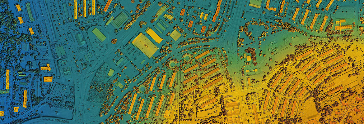
LiDAR is a remote sensing survey method that facilitates 3D mapping of the Earth’s surface including urban and rural topography. B.C. currently makes a large collection of LiDAR data free and equally accessible to everyone in B.C. Gathering more LiDAR data will create better certainty for First Nations, local governments, communities, decision-makers, land-use planners and other stakeholders when planning for the impacts of climate change. The creation of detailed mapping via LiDAR will support decision making for mitigating wildfire risk, mining, flood mapping, coastal zone conservation, agriculture, urban development, transportation and other industries.